01
Bridge reveal
Real-world inspiration · fly to create your frame.
Take a playful virtual flight over a stylized Delaware River landscape. Follow three creative missions, frame the scene and see why the strongest aerial work begins with a reason for every move.
Choose a mission first. Then reach the gold target, match its altitude and aim the camera heading. Capture unlocks when all three checks are ready.
Fly to each gold marker, match the suggested altitude and capture a strong frame. Your three photographs will appear below.
Real-world inspiration · fly to create your frame.
Real-world inspiration · fly to create your frame.
Real-world inspiration · fly to create your frame.
The real craft starts here: weather, light, airspace, safe operation, camera movement and an edit shaped for the client.
Choose the assignment, final format and visual mood. The planning board instantly reshapes the shot strategy using real ArdeaDrones production thinking.
Interactive previsualization—not an automatic flight authorization or a substitute for site, weather and airspace review.
Lead with context, move toward the strongest exterior relationship and finish on the feature most likely to stop the scroll.
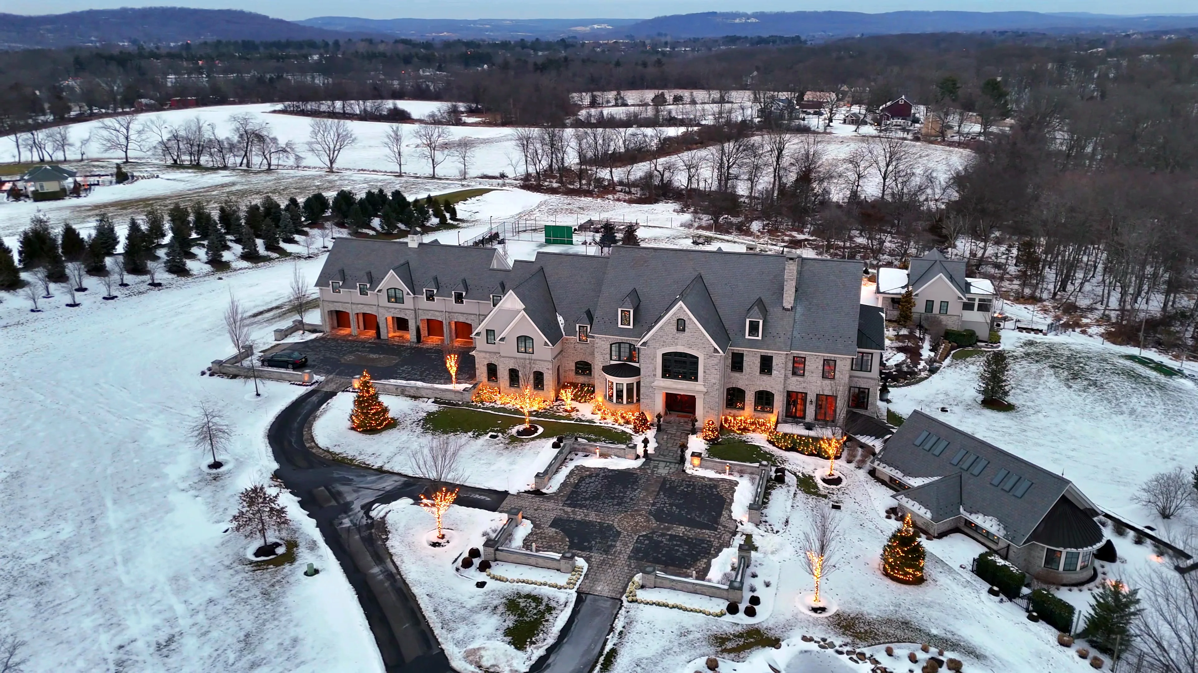
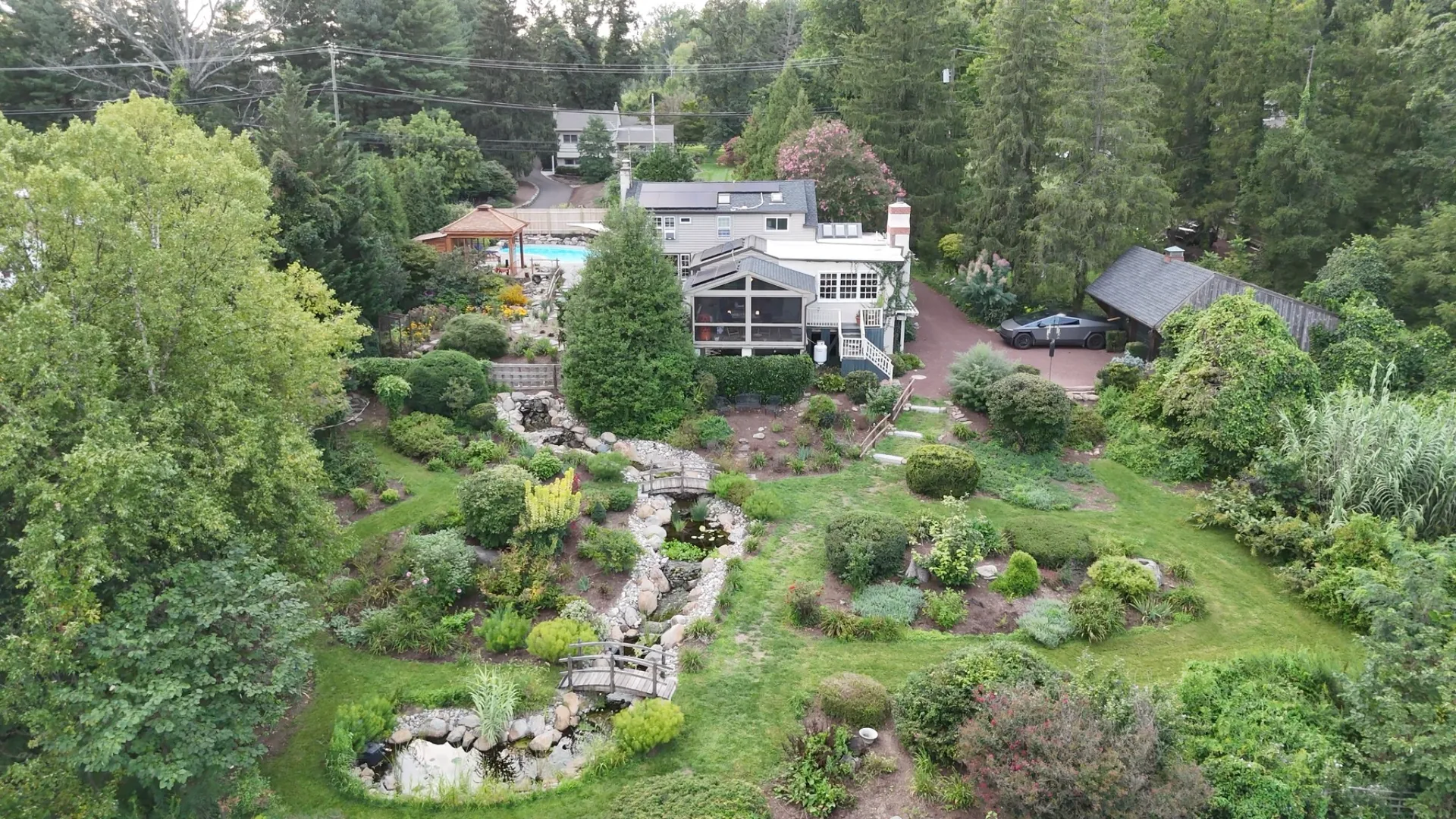
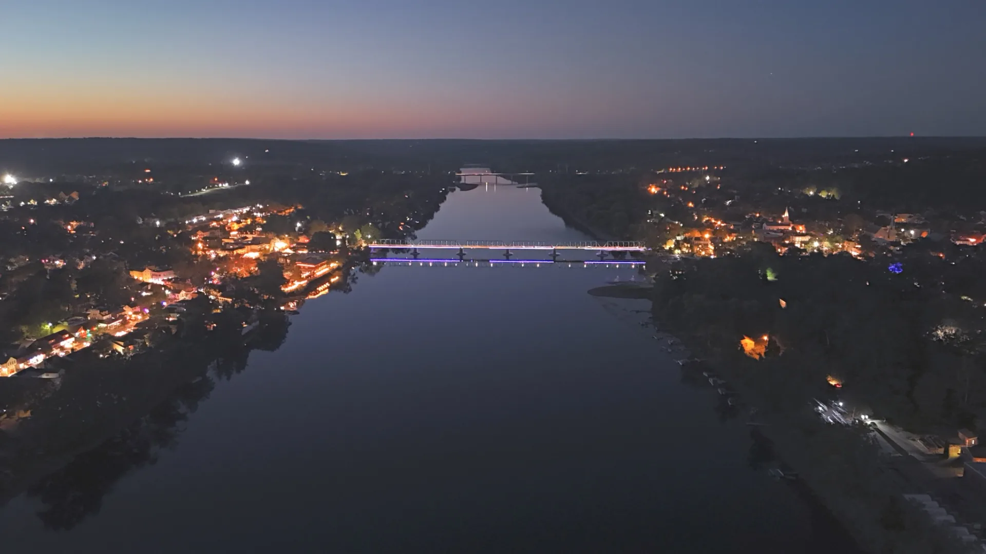
Drone footage becomes useful when movement reveals information—not simply because the camera is in the air.
Start wide enough to connect a property, business or landmark to its surroundings.
Altitude and heading decide whether the viewer notices architecture, landscape, access or community context.
A reveal, orbit or pullback should clarify the subject. Movement without a reason becomes visual noise.
The same flight can support a website film, listing tour, vertical Reel and project-progress story.
The Flight Lab teaches visual thinking only. Real operations require an appropriate aircraft, trained judgment, current airspace and weather checks, site permission, safe separation, and compliance with FAA rules.
ArdeaDrones is FAA Part 107 licensed and insured. Every real assignment is evaluated for the location and conditions on the day.
Explore professional aerial coverage ↗Concept and creative direction by ArdeaDrones. Custom HTML, CSS and Canvas JavaScript developed collaboratively with ChatGPT by OpenAI ↗.
No third-party game engine, simulator package or generated image asset is used in this experience.
Tell us what the audience needs to understand, and we’ll shape the aerial coverage around it.